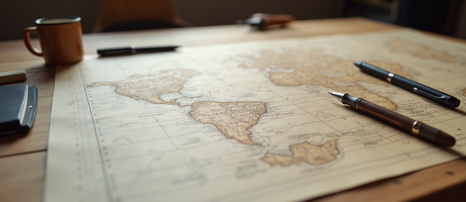
Bespoke Spatial Storytelling
From our Hermosa Beach studio, we draft custom illustrated maps and regional territory charts that replace automated templates with heirloom-quality physical art.

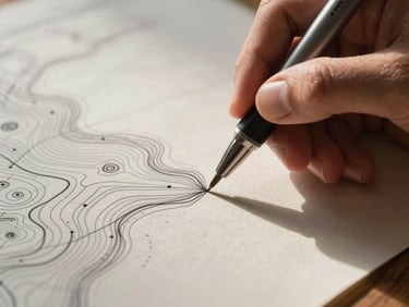
The Hand-Plotted Line
We reject automated GIS templates. Every contour interval, coastline, and custom icon is plotted by hand to balance geographic truth with artistic license.
Our process layers ink, texture, and custom typography on heavy archival-grade paper. We create maps meant to be studied, framed, and integrated into physical spaces.
Our Disciplines
Geographic Precision
Fine Illustration
Archival Production
Every mountain range, landmark, and sea monster is drawn by hand, adding tactile warmth and character.
We print on heavy cotton rag paper using pigment inks, creating heirloom-grade physical sheets that last.
We anchor every custom map in real-world spatial data, ensuring accurate projections and scale.
Plot Your Narrative
Collaborate with our Hermosa Beach studio to design a custom map for your brand, property, or private collection.